







You will not be allowed to compare more than 4 products at a time
View compare
Shop Professional-Grade Drones
Whether you're just getting started or looking to upgrade to the highest quality equipment, Taft Drone has you covered!
Shop Parts & Acessories By Series
Professional Drone Services
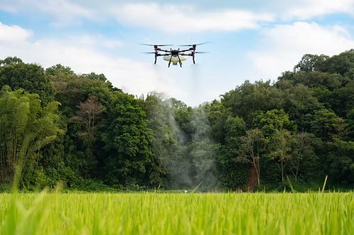
Taft Drone delivers precision drone solutions for farmers, landowners, and commercial clients. From agricultural spraying to thermal recovery and aerial inspections, every service is designed for efficiency, accuracy, and real-world results.
Why Choose Taft Drone
Your Complete Drone Partner
At Taft Drone, we don't just sell drones, we use them every day. Our team combines real-world field experience with technical expertise to help businesses buy, maintain, repair, and successfully operate commercial drone systems across agriculture, construction, public safety, surveying, and more.
Request a Quote


Why Use Drones
Why Use Drones
Remote Sensing and Data Collection
Drones can access areas that are difficult or dangerous for humans to reach, making data collection and monitoring more efficient. This is particularly useful in industries like agriculture, forestry, and disaster management.
Time Efficiency
Drones can cover large areas quickly, reducing the time required for tasks such as surveying, mapping, and monitoring. This speed is crucial in industries where timely information is essential, such as emergency response and environmental monitoring.
Labor Reduction
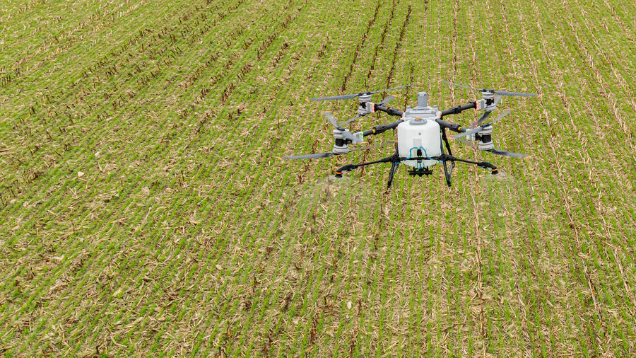
Drones can perform tasks that would otherwise require manual labor, freeing up human workers to focus on more complex or strategic tasks. This is evident in industries like agriculture, where drones can automate tasks like crop spraying or monitoring.
Precision and Accuracy
Drones equipped with advanced sensors and GPS technology can perform tasks with high precision and accuracy. This reduces errors and ensures that tasks such as crop spraying, infrastructure inspection, and surveying are completed more effectively.
Cost Savings
Drones are often more cost-effective than traditional methods, such as using helicopters or ground-based crews. This is particularly relevant in industries where operational costs can be high, such as infrastructure inspection and aerial photography.
Real-time Data
Drones can provide real-time data and imagery, allowing professionals to make informed decisions quickly. This is especially valuable in situations that require rapid response, such as disaster assessment and search and rescue operations.
Access to Remote Areas
Drones can reach remote or geographically challenging areas that are otherwise difficult to access. This is important in fields like wildlife monitoring, environmental research, and geological surveys.
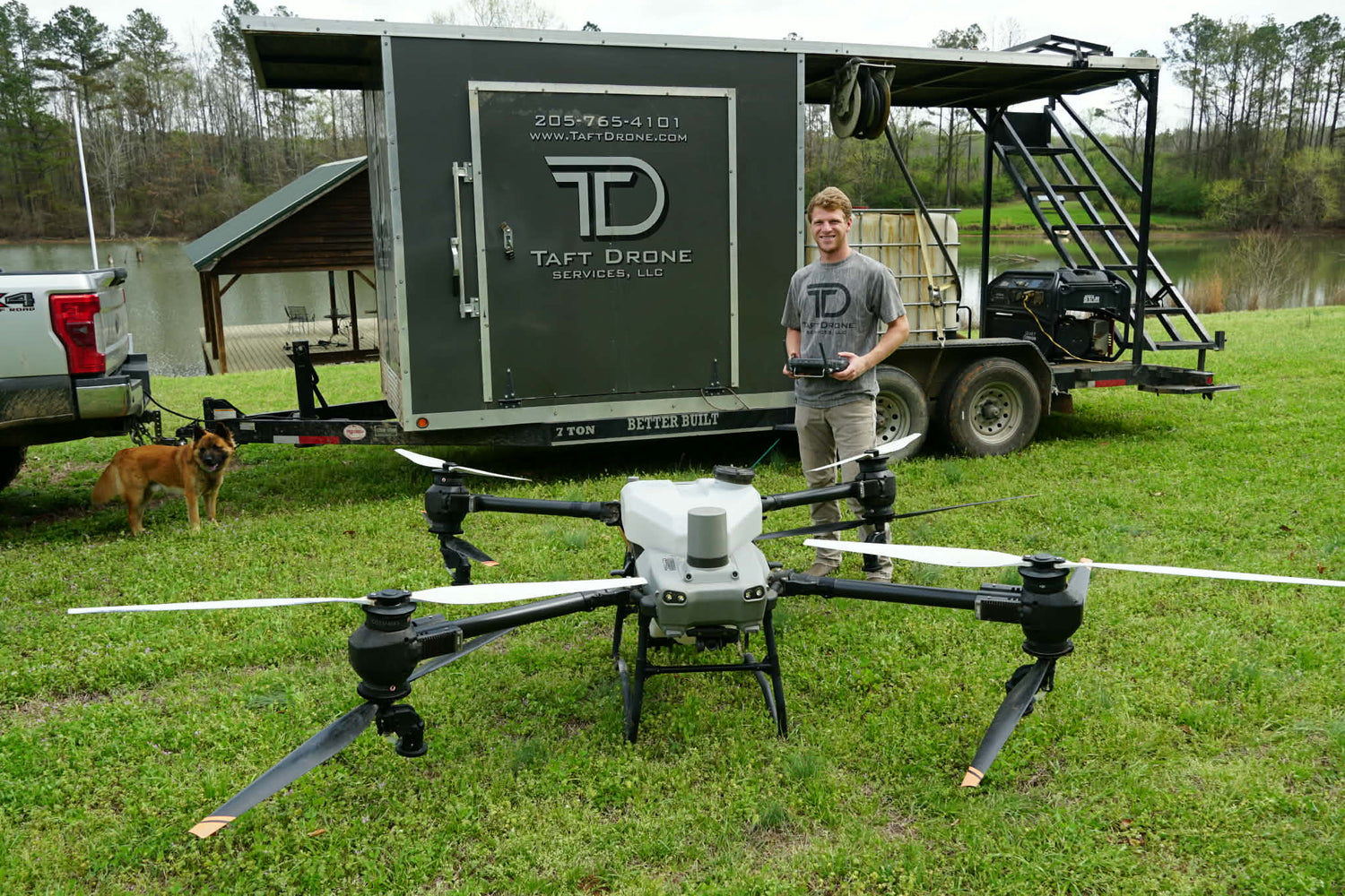
Meet Trayton
Owner of Taft Drone
Trayton Taft is an FAA Part 107 certified drone pilot and founder of Taft Drone, with a degree in Agricultural Science focused on Precision Agriculture and Wildlife Management.
Trayton combines real-world field experience with advanced drone technology to deliver accurate, efficient solutions for farmers, landowners, and commercial clients.
Every flight is backed by professional-grade equipment, practical expertise, and a commitment to doing the job right.

Ready to put Precision to work?
Request a Quote

Get in Touch With Us
- Trayton Taft Trayton@taftdrone.com
- 205-765-4101
- Trayton@taftdrone.com
More About Drones
Check out our latest posts to learn more about how professional drone services can help you!