
You will not be allowed to compare more than 4 products at a time
View compare
Thermal Deer Recovery by Drone
Losing sight of a wounded deer can be frustrating and discouraging, especially in thick cover or low-light conditions. Thermal drone technology has become one of the most effective tools for locating deer quickly and ethically after a shot.
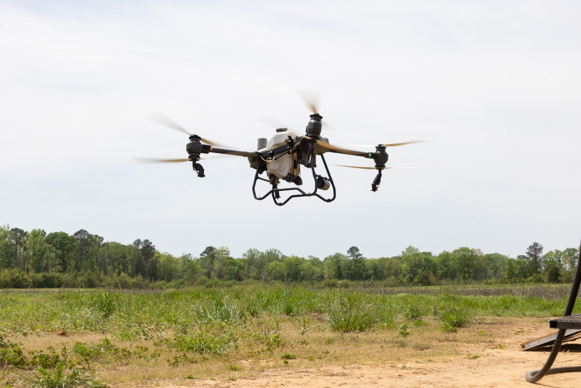
At Taft Drone Services, we use advanced thermal imaging drones that detect heat signatures from above, allowing us to locate deer in dense woods, tall grass, and difficult terrain that would otherwise be nearly impossible to search efficiently on foot.
Our goal is to help hunters recover their game responsibly while minimizing unnecessary disturbance to the surrounding environment.
How Thermal Drone Deer Recovery Works
Thermal drones identify heat signatures from animals and other warm objects on the ground. By scanning the area from above, we can quickly cover large sections of land and locate a deer that may be hidden from view.
This aerial perspective dramatically improves the chances of recovery, especially when tracking conditions are difficult due to thick vegetation, limited blood trails, or nighttime searches.
Once the deer is located, we guide the hunter to the exact position for recovery.
When to Call for Deer Recovery
For the best results, it is important to call as soon as possible after losing a trail. Waiting too long can allow animals to travel farther or reduce the heat signature that thermal imaging relies on.
Thermal recovery is especially helpful when:
- The blood trail becomes difficult to follow
- The deer entered thick woods or tall grass
- Tracking after dark becomes challenging
- You want to avoid pushing a wounded deer farther
- Large properties or unfamiliar land make searching difficult
Calling early greatly increases the chances of a successful recovery.
Ethical and Responsible Recovery
Ethical hunting includes doing everything possible to recover wounded game. Thermal drone recovery provides hunters with a powerful tool to locate animals quickly and reduce the risk of losing them entirely.
Our approach focuses on responsible use of technology while respecting wildlife, hunting traditions, and landowner permissions.
Request Deer Recovery Assistance
If you need help locating a deer, contact Taft Drone Services as soon as possible so we can deploy quickly and increase the chances of recovery.
Call or message immediately for recovery assistance.

Frequently Asked Questions About Drone Services
Frequently Asked Questions About Drone Services
How do drones help businesses work more efficiently?
Drones make work easier by capturing aerial data quickly and safely. They allow businesses to survey land, monitor projects, inspect structures, and gather valuable information without the time and cost required by traditional methods.
Can drones collect data in hard-to-reach areas?
Yes. One of the biggest advantages of drones is their ability to access areas that may be difficult or dangerous for people to reach. This makes them valuable for agriculture, forestry, construction inspections, disaster assessment, and environmental monitoring.
Do drones save time compared to traditional surveying methods?
Absolutely. Drones can cover large areas in a short amount of time. Tasks such as land surveying, aerial mapping, and site monitoring can often be completed in a fraction of the time compared to traditional ground or manned aircraft methods.
How do drones help with decision-making?
The aerial imagery and data collected by drones give businesses a clearer view of their property, land, or project. This information helps owners and managers make faster and more informed decisions.
Can drones reduce labor costs?
Yes. Drones can perform tasks that would normally require large crews or specialized equipment. This allows teams to focus on higher-level work while drones handle aerial data collection, inspections, and monitoring.
Are drones accurate for mapping and inspections?
Modern drones use advanced GPS technology and high-resolution sensors to deliver highly accurate results. This level of precision makes them ideal for surveying land, inspecting infrastructure, monitoring crops, and documenting construction progress.
Are drone services cost-effective?
Drone technology is often more affordable than traditional aerial services such as helicopters or large surveying crews. Businesses can collect high-quality aerial data while reducing operational costs.
Can drones reduce labor costs?
Yes. Drones can perform tasks that would normally require large crews or specialized equipment. This allows teams to focus on higher-level work while drones handle aerial data collection, inspections, and monitoring.
Can drones provide real-time data?
Yes. Many drone flights provide real-time imagery and data, allowing businesses to quickly assess conditions and make informed decisions. This is especially helpful for project monitoring, inspections, and emergency response situations.
Do drones improve safety on job sites?
Yes. Drones can inspect hazardous locations such as tall structures, unstable areas, or disaster zones without putting workers at risk. This significantly improves safety while still gathering the necessary information.
Are drones reliable for repeated monitoring?
Drones can perform consistent flights over the same area, making them ideal for tracking changes over time. This is especially useful for agriculture, construction progress tracking, and environmental monitoring.
Can drones help with environmental monitoring and conservation?
Yes. Drones allow researchers and land managers to observe ecosystems and wildlife without disturbing them. This makes them an excellent tool for conservation efforts, environmental studies, and land management.
Request a Quote
Ready to improve your agricultural practices? Contact us to schedule a drone service consultation.